

Product Details
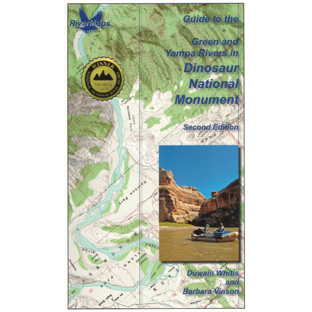
When you're planning a trip on the Green and Yampa Rivers in Dinosaur National Monument, this RiverMaps™ guidebook is a must have. Describes rapids and camps, plus USGS maps.
Copyright: 2013, 2nd Edition
Size: 9"W x 14"H - Waterproof paper
Pages: 38
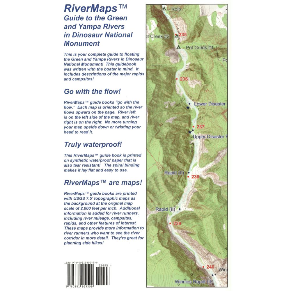
Map Pages: USGS 7.5' color topo reproductions
Scale: 2,000 feet per inch (1:24,000)
- Covers both the 43 miles of the Gates of Lodore to Split Mountain section of the Green River and the 46 miles on the Yampa River's Deerlodge Park put-in to its confluence with the Green. Boaters on the Yampa float their final 25 miles on the Green River to the Split Mountain takeout.
- RiverMaps guidebooks are made by river runners for river runners.
- These large format books are printed on tough synthetic waterproof paper and spiral bound so they lay flat and can take the waves, splash and wear of a river trip.
- Opened up, the left side page has mile-by-mile descriptions of major rapids, campsites and features of interest. There are also great color photos that illustrate the text.
- The right side page features color USGS topographic maps at the scale of 2,000 feet to the inch (1:24,000). There's no better way to keep track of where you are on the river.
- But wait, there's more. In the front of the book is lots of information about the rivers, the landscape and the flora and fauna.
- These front eight pages are chock full of Park Service contact info and regulations, weather, geology, archaeology, history, ecology and resource protection wisdom.
- No matter what other resources you have, this guidebook is really an essential tool for enjoying these magnificent river trips.
Copyright: 2013, 2nd Edition
Size: 9"W x 14"H - Waterproof paper
Pages: 38
Map Pages: USGS 7.5' color topo reproductions
Scale: 2,000 feet per inch (1:24,000)
Specs
| Subject Matter: |
|
|---|---|
| Subject Location: | Southwest |
| Author: | Duwain Whitis and Barbara Vinson |
| Copyright: | 2013, 2nd Edition |
| Size: | 9" x 14" |
| Pages: | 38 |
| Features: |
|
You May Also Like
Reviews
19 Ratings
Questions
Have a question? Ask owners.
Start typing and see existing answers.
Why did you choose this?
going on a river
Going on a gates of lodore trip 😊
So I know where I am going????
Floating that section in June