Product Details
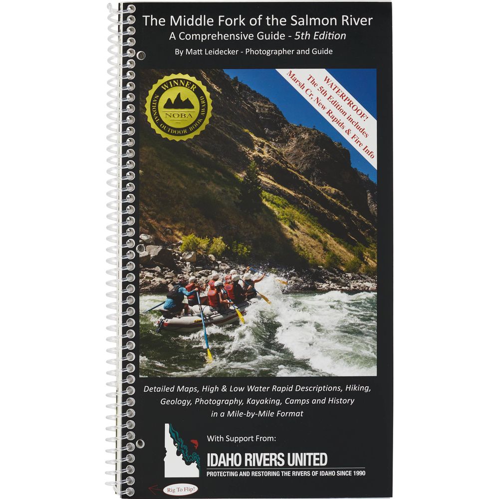
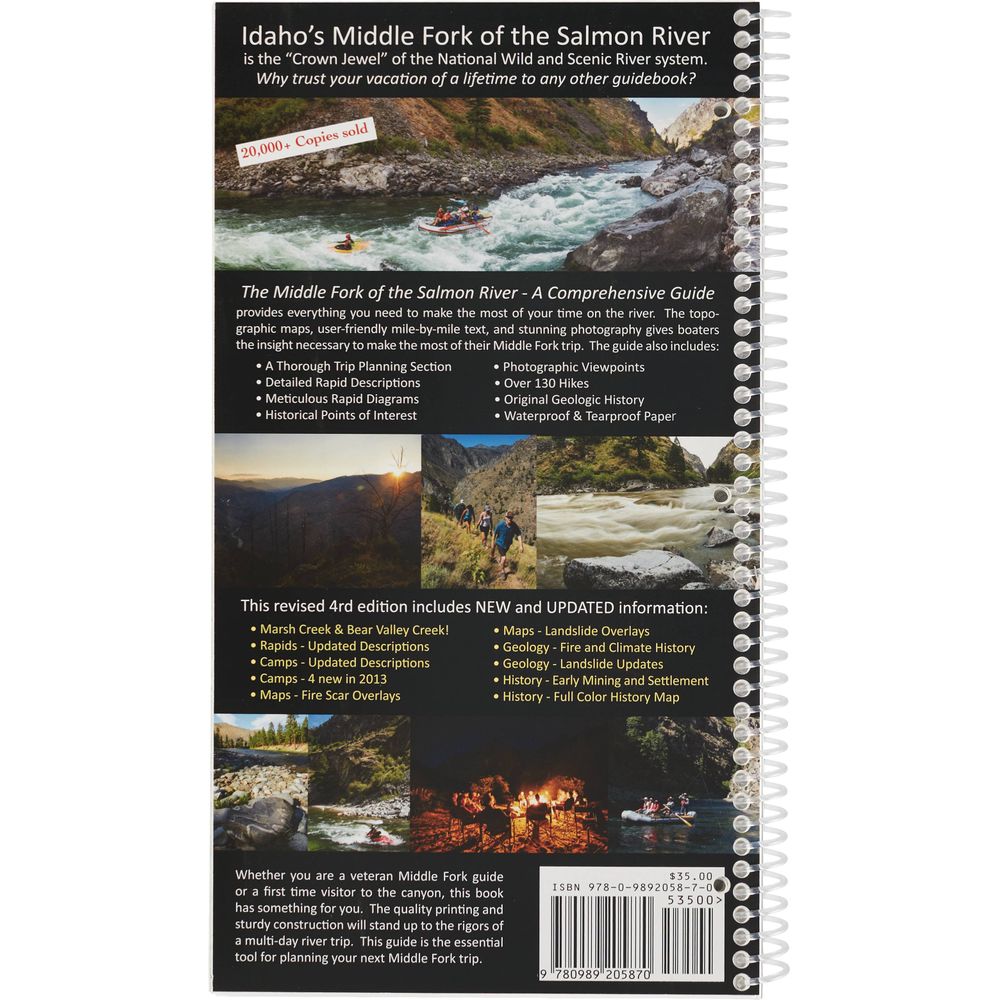
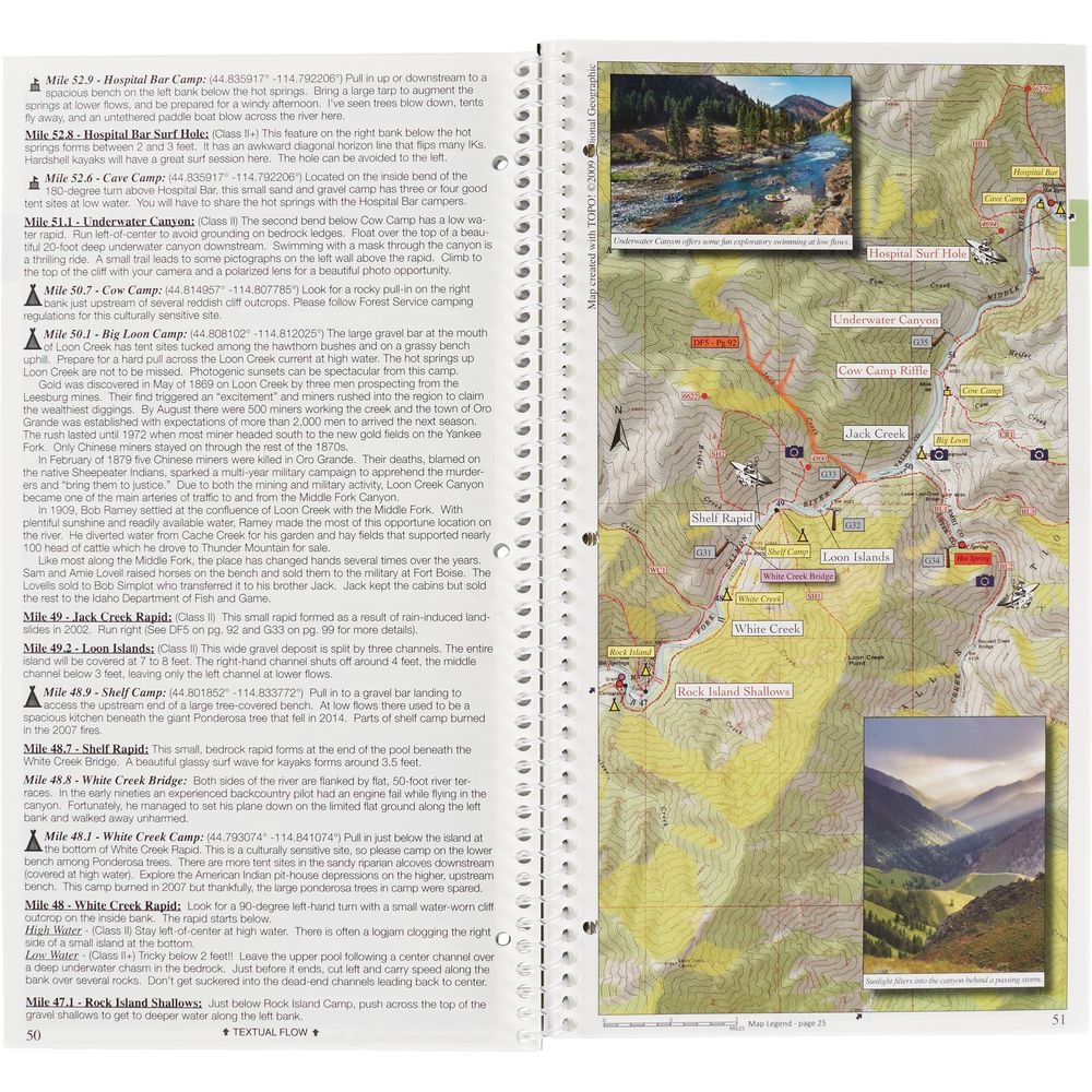
The 5th Edition of Matt Leidecker's Middle Fork of the Salmon River Guide Book delivers mile-by-mile rapid descriptions with detailed maps and photos all printed on sustainably-sourced waterproof paper. The quality printing and sturdy construction will stand up to the rigors of a multi-day river trip.
Copyright: 2006, revised 2021
Winner of the National Outdoor Book Award
- Spiral bound and printed on durable waterproof, tearproof paper, this detailed 114-page guide has all the information needed for a successful Middle Fork trip.
- Stone-based paper uses calcium carbonate powder rather than wood pulp to create a waterproof paper without exploiting trees and water or relying on toxic agents like bleach.
- The color topo maps are created from the National Geographic TOPO software in 1:15,000 format with added rapid, camp and historical landmarks locations.
- Includes permit information, fishing, camping and other trip planning tips, over 130 side hike options and GPS coordinates for all campsite locations.
- 20 pages of geologic history and mile-by-mile lists of creek blowouts and geologic events.
- Organized into seven sections, colored tabs make it easy to quickly find information.
- Stone-based paper is heavier. The 5th Edition of this MF Guide does not float.
Copyright: 2006, revised 2021
Winner of the National Outdoor Book Award
Specs
| Weight: | 15.4 oz |
|---|---|
| Subject Matter: |
|
| Subject Location: | West |
| Author: | Matt Leidecker |
| Copyright: | 2006, revised 2021 |
| Size: | 6" x 11" |
| Pages: | 114 |
You May Also Like
Reviews
Questions
Have a question? Ask owners.
Start typing and see existing answers.
