PaddleWays: Adventure Informed
by NRS, powered by OnWater
Find it, plan it, paddle it.
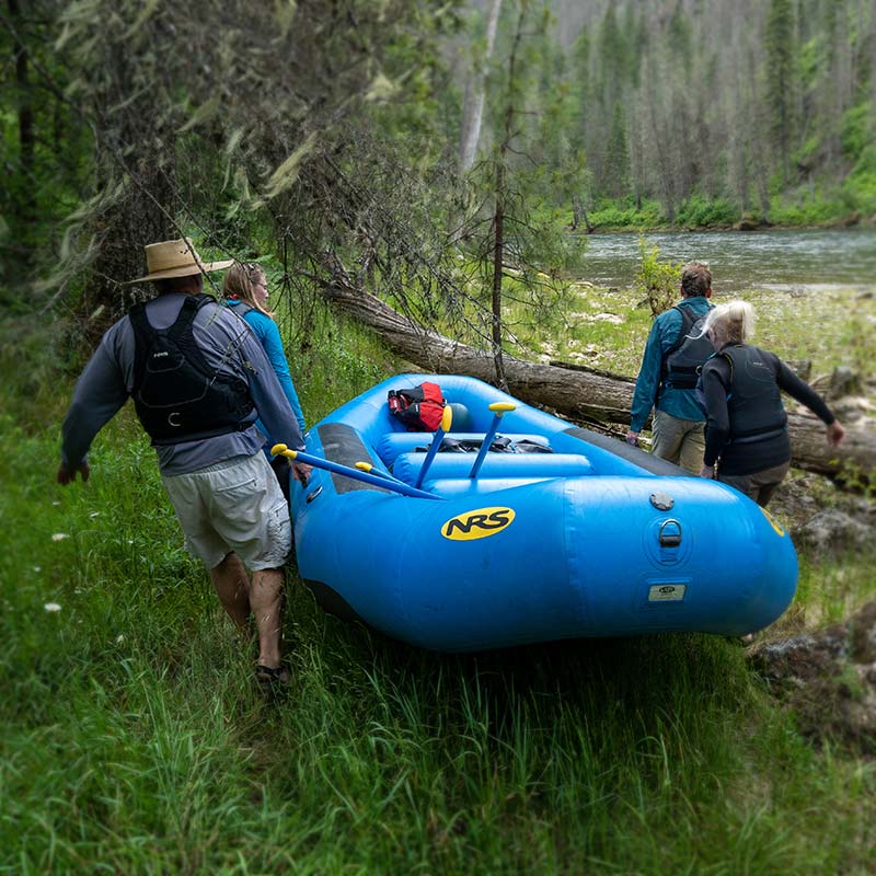
Whether discovering new places to paddle, planning your bucket-list trip, or navigating on your next adventure, PaddleWays is your all-in-one tool for knowing where, when and how to go.
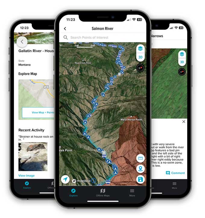
Start Your Free Trial »PaddleWays serves as a digital guidebook and GPS navigation tool to help you make informed decisions on and off the water.

DISCOVER
PaddleWays is a guidebook, interactive atlas and community forum, all in one tool, at your fingertips.
- Explore rivers near and far with detailed interactive maps.
- Read guide-book descriptions of paddling destinations.
- Match your skill level with provided difficulty ratings.
- Connect to related resources for more information.
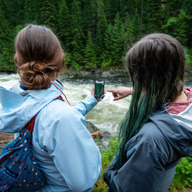
PaddleWays helps you launch with confidence, uniting state-of-the art map technology with curated river descriptions, points-of-interest, and real-time conditions.
PLAN
Know before you go with all the information you need to plan the perfect outing from a single trusted source.
- Measure river miles between put-ins and take-outs, or between camps, to plan your day.
- View access points, boat ramps, campsites, restrooms, and other points of interest.
- Check the weather and river flows by location.
- Find local paddle shops and shuttle services.
- See other user’s comments on recent conditions.
- Reference notes, photos and saved places from previous trips.
PaddleWays lets you view your location, see what’s coming, measure distances, and set alerts for approaching features.
NAVIGATE
Never wonder where you are, where you’re going, or what’s around the next bend.
- Access detailed interactive 2D and 3D maps online and offline.
- Choose between Satellite, Outdoor and Street map modes.
- Measure distances in river miles.
- Set alerts for upcoming take-outs, camps or rapids.
- Mark places to remember and include notes and photos.
- View public and private land designations.
WHO IS PADDLEWAYS?
PaddleWays is made possible by NRS in support of its mission to serve the health and well-being of people and the planet by helping make human-powered recreation more accessible, safe, sustainable and enjoyable. It is powered by technology created by onWater and donates 1% of sales to promote responsible use and resource conservation.
 NRS Gift Card: Always Fits, Always Wanted


