RiverMaps San Juan River 2nd Edition Guide Book
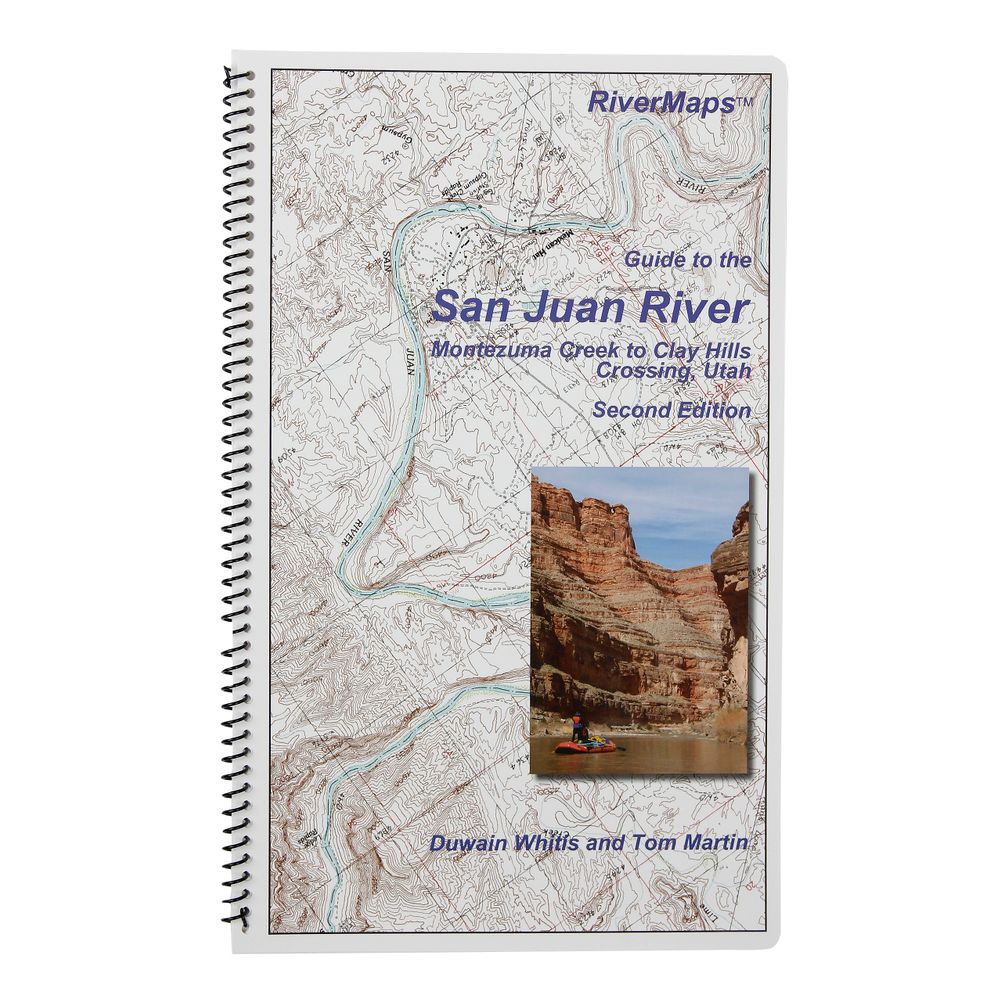
Front

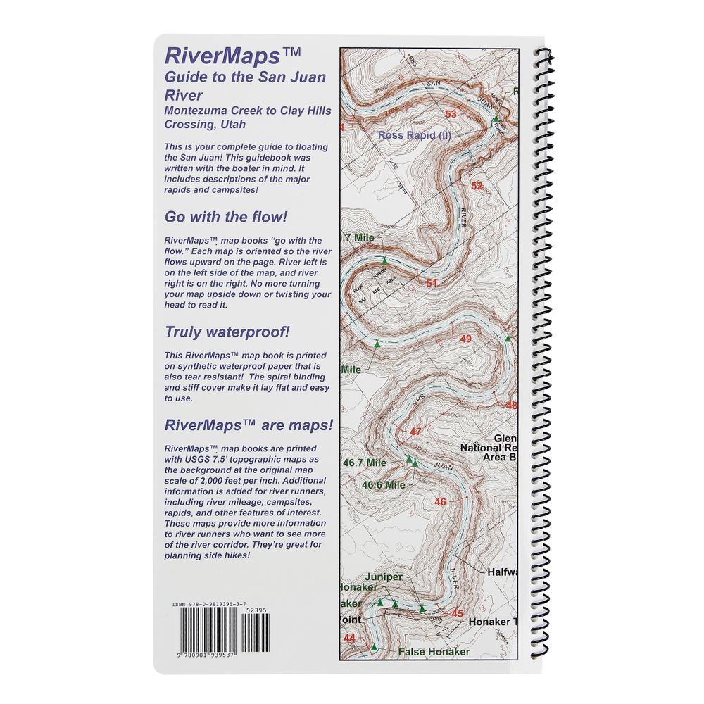
Back


This product is no longer available, but we’ve got more options for you:
Product Details
Whether you're planning to float Utah's San Juan River or just dreaming about it, you need this RiverMaps™ Guide. A favorite with river runners everywhere, RiverMaps guidebooks are a boating essential.
Copyright: 2009 second edition
Size: 9"w x 14"h waterproof paper
Pages: 38
Map Pages: USGS 7.5" color topo reproductions
Scale: 2,000 feet per inch (1:24,000)
- Covers the San Juan River from Montezuma Creek to Clay Hills Crossing.
- Spiral bound format with full color topo maps on right side and complete text descriptions on the facing page
- Excellent mile by mile information on rapids, campgrounds, geological features, historical sites and reference points.
- The topo maps are the same scale as the original USGS maps. The contour lines and accurate shape of the river really help you keep track of where you are.
- The high quality waterproof paper really stands up to the soaking it's going to get!
- The book lists numerous side hikes and interesting features away from the river, with great information on the San Juan's rich archeological heritage.
Copyright: 2009 second edition
Size: 9"w x 14"h waterproof paper
Pages: 38
Map Pages: USGS 7.5" color topo reproductions
Scale: 2,000 feet per inch (1:24,000)
Specs
| Subject Matter: | Guidebooks |
|---|---|
| Author: | Tom Martin & Duwain Whitis |
| Copyright: | 2009 2nd Edition |
| Size: | 9" x 14" |
| Pages: | 38 |
| Features: |
|
You May Also Like


Reviews
Due to your cookie choices, we cannot show you this content. Adjust your settings?
Questions
Due to your cookie choices, we cannot show you this content. Adjust your settings?
 NRS Gift Card: Always Fits, Always Wanted


