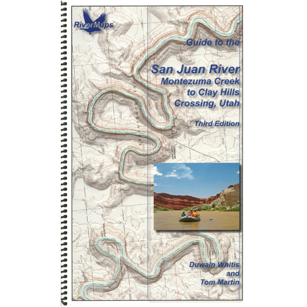
RiverMaps San Juan River 3rd Edition Guide Book
This product is no longer available, but we’ve got more options for you:
Product Details
In its third edition, the RiverMaps™ guide to the San Juan River is your go-to, on-the-water companion. A favorite with river runners everywhere, RiverMaps guidebooks are a boating essential.
Copyright: 2017
Size: 9" x 14"
Pages: 37
- Covers the San Juan River from Montezuma Creek to Clay Hills Crossing.
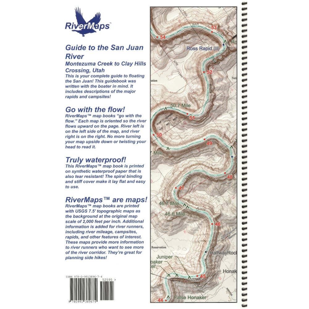
- Excellent mile by mile information on rapids, campgrounds, geological features, historical sites and reference points, as well as current permit requirements and regulations.
- The topo maps are the same scale as the original USGS maps. The contour lines and accurate shape of the river really help you keep track of where you are.
- Spiral bound format with full color topo maps on the right side and complete text descriptions on the facing page.
- The high-quality waterproof paper won't tear and the ink won't bleed no matter how harsh of a soaking you put it through.
- The book lists numerous side hikes and interesting features away from the river, with great information on the San Juan's rich archaeological heritage.
Copyright: 2017
Size: 9" x 14"
Pages: 37
Specs
| Weight: | 6 oz |
|---|---|
| Subject Matter: |
|
| Subject Location: | Southwest |
| Author: | Tom Martin & Duwain Whitis |
| Copyright: | 2017 3nd Edition |
| Size: | 9" x 14" |
| Pages: | 37 |
| Features: |
|


 NRS Gift Card: Always Fits, Always Wanted

