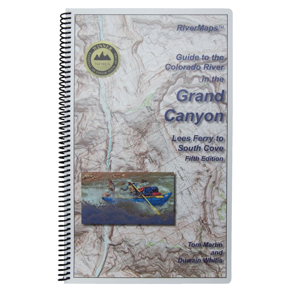
RiverMaps Colorado River in the Grand Canyon 5th Ed. Guide Book
This product is no longer available, but we’ve got more options for you:
Product Details
The RiverMaps Guide to the Colorado River in the Grand Canyon is a must-have guidebook for your trip down the Grand. It's durable and waterproof with USGS topo maps and excellent descriptions of river features.
Copyright: 2013
Size: 9" x 14"
Pages: 118
- This 5th Edition book covers the entire river, from the Lees Ferry launch site to the South Cove take out on Lake Mead.
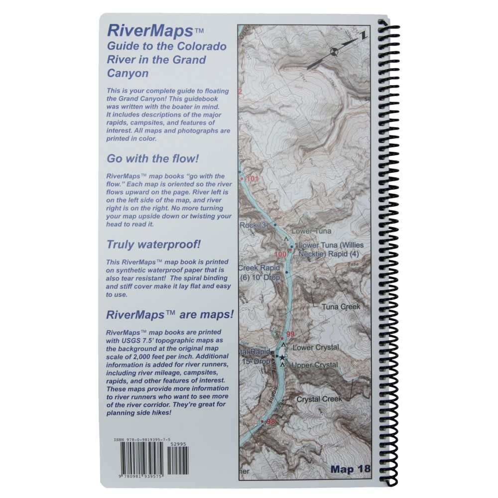
- Spiral-bound format with full-color topographical maps on the right side and complete text descriptions on the facing page.
- The new mapping software used in this edition allows relief shading of the topo maps, giving you a much better perspective of the terrain.
- Excellent mile-by-mile information on rapids, campgrounds, geological features, historical sites and reference points.
- The topo maps are the same scale as the original USGS maps. The contour lines and accurate river shape really help you keep track of where you are.
- The high-quality waterproof paper really stands up to the soaking it's going to get!
- The book lists numerous side hikes and interesting features away from the river.
- All photos in this edition are in full color.
- Also includes info pages on frequently asked questions about boating the river, Grand Canyon geology, archeology, resource protection and plants found in the Canyon.
- Between the 6th and 5th addition, text changes are relatively minor. The most significant changes for river runners include information about a few camps below Diamond Creek (mile 225). Two camps were deleted, one was added, and another slightly moved.
Copyright: 2013
Size: 9" x 14"
Pages: 118
Specs
| Subject Matter: | Guidebooks |
|---|---|
| Author: | Tom Martin & Duwain Whitis |
| Copyright: | 2013 5th Edition |
| Size: | 9" x 14" |
| Pages: | 118 |
| Features: |
|
You May Also Like
Reviews
10 Ratings
10 Reviews
Questions
Have a question? Ask owners.
Start typing and see existing answers.
