RiverMaps Salt River Arizona Guide Book
This product is no longer available, but we’ve got more options for you:
Product Details
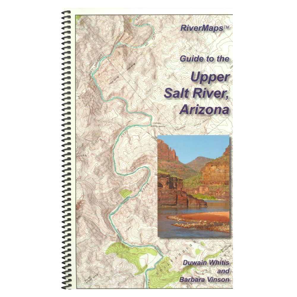
The Guide to the Upper Salt River is a must-have guidebook for your trip down Arizona's Salt River. Durable and waterproof, with USGS maps and excellent descriptions of river features.
Copyright: 2014
Size: 9"W x 14"H waterproof paper
Pages: 27
Map Pages: USGS 7.5" color topo reproductions
Scale: 2,000 feet per inch (1:24,000)
- This book covers the entire permitted portions from the put-in at Highway 60 through the South Gleason River Access to the take-out at Highway 288 on the Upper Salt River.
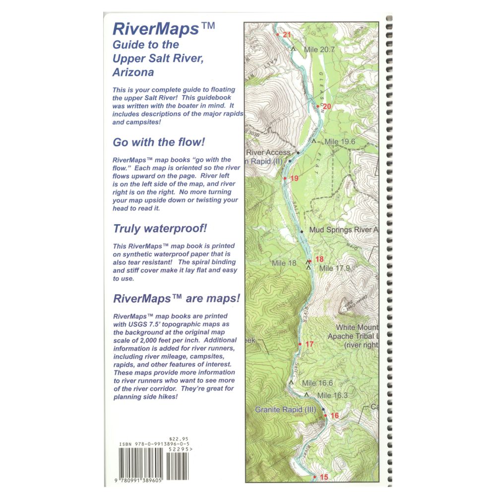
- Spiral bound format with full color topo maps on right side and complete text descriptions on the facing page.
- Color photos highlight some of the river's more famous attractions and features.
- Excellent mile by mile information on rapids, campgrounds, geological features, historical sites and reference points.
- The topo maps are the same scale as the original USGS maps. The contour lines and accurate shape of the river really help you keep track of where you are.
- High quality waterproof, tear-resistant paper handles the splash and abuse of negotiating rivers.
- This guidebook also includes numerous side hikes and interesting features away from the river.
- Includes info pages on frequently asked questions about boating the river, area geology, archaeology, resources protection and plants found along the river, as well as emergency contact information.
Copyright: 2014
Size: 9"W x 14"H waterproof paper
Pages: 27
Map Pages: USGS 7.5" color topo reproductions
Scale: 2,000 feet per inch (1:24,000)
Specs
| Subject Matter: |
|
|---|---|
| Subject Location: | Southwest |
| Author: | Duwain Whitis & Barbara Vinson |
| Copyright: | 2014 |
| Size: | 9" x 14" |
| Pages: | 27 |
| Features: |
|
You May Also Like
Reviews
2 Ratings
2 Reviews
Questions
Have a question? Ask owners.
Start typing and see existing answers.
Why did you choose this?


Best book out there.....and it's waterproof
River trip
Because I need a map
Going on the salt love these guide books