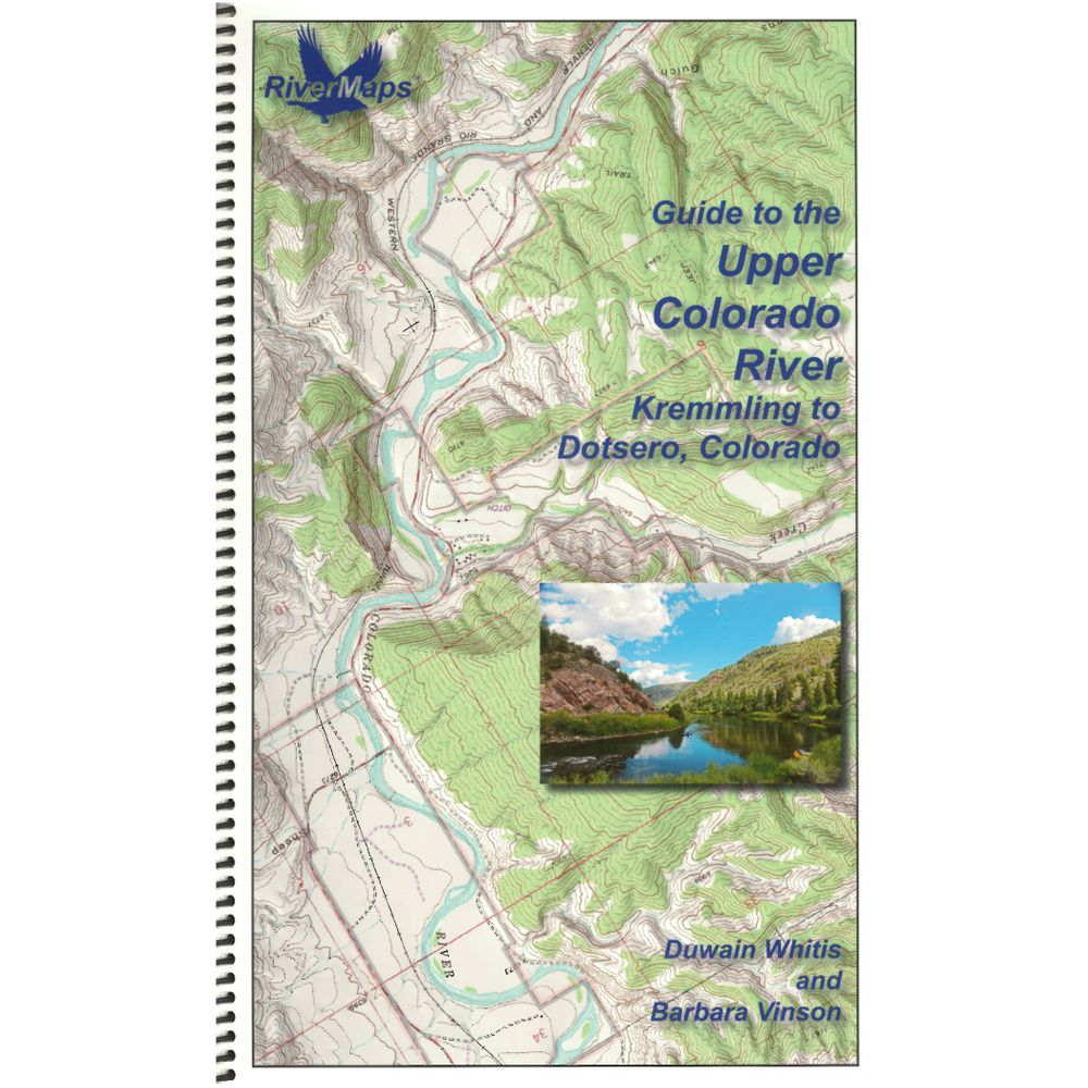
RiverMaps Upper Colorado River Guide Book


This product is no longer available, but we’ve got more options for you:
Product Details
From the exhilarating rapids through Gore Canyon to the 50+ miles of more mellow floating, the RiverMaps™ Guide to the Upper Colorado River has all the beta needed to safely plan and navigate your trip.
Copyright: 2017
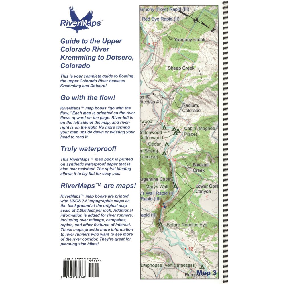
Size: 9" x 14" waterproof paper
Pages: 39
- Paralleled by the Pacific Union Railroad, the portion of the Upper Colorado River featured in this guide may not be wild, but it's certainly scenic.
- Excellent mile by mile information on rapids, campgrounds, geological features, historical sites and reference points, as well as permit requirements and regulations.
- Covers the Upper Colorado River from Kremmling to Dotsero, Colorado.
- The topo maps are the same scale as the original USGS maps. The contour lines and accurate shape of the river really help you keep track of where you are.
- Spiral bound format with full color topo maps on the right side and complete text descriptions on the facing page.
- Whether you're boating during a monsoon or charging heavy rapids, the high-quality waterproof paper won't tear and the ink won't bleed.
Copyright: 2017
Size: 9" x 14" waterproof paper
Pages: 39
Specs
| Weight: | 6.4 oz |
|---|---|
| Subject Matter: |
|
| Subject Location: | Southwest |
| Author: | Duwain Whitis & Barbara Vinson |
| Copyright: | 2017 |
| Size: | 9" x 14" |
| Pages: | 39 |
| Features: |
|
You May Also Like
Reviews
Due to your cookie choices, we cannot show you this content. Adjust your settings?
Questions
Due to your cookie choices, we cannot show you this content. Adjust your settings?
 NRS Gift Card: Always Fits, Always Wanted


